Objective
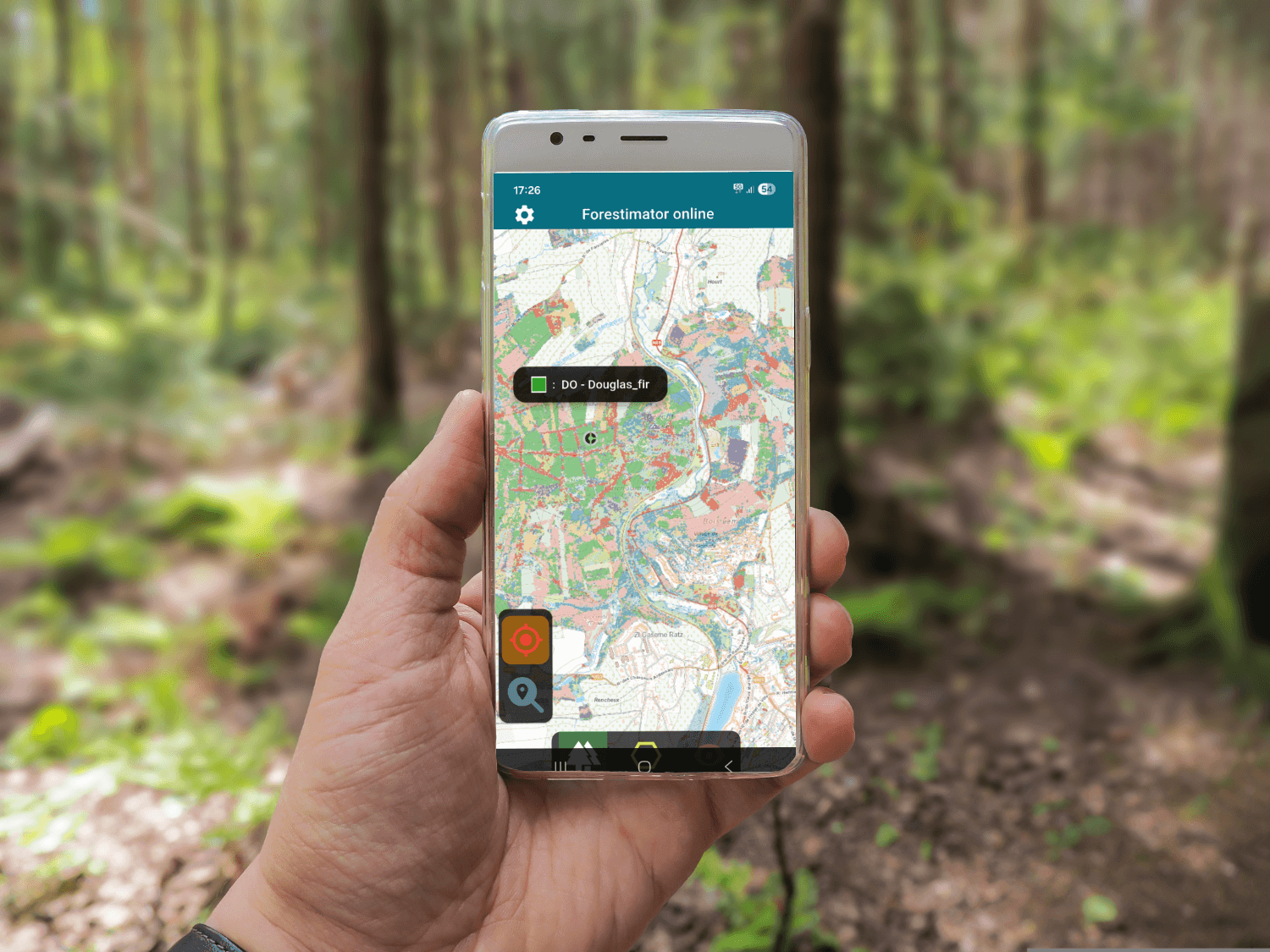
The Forestimator application was developed by teams from ULiège Gembloux Agro Bio-Tech. It is a geolocalised mapping interface (usable on PC or smartphone) that allows a plot to be characterised from both the point of view of the site (soil type, climate, water and nutrient levels, species on site, etc.) and the stand (species present, basal area, dominant height, density, average circumference, etc.). It therefore constitutes a valuable decision-support tool for your management. During the training, after a theoretical introduction, we will familiarise ourselves with the application in the classroom before going into the forest to test its various functionalities in diverse stands.
Speakers
- Jonathan Lisein, ULiège, Gembloux Agro Bio-Tech
- Nicolas Dassonville, RFSB
Program
| 09h30 | Presentation of the application in the room |
| 10:30 AM | Questions and answers and gym exercises |
| 11:00 AM | Transfer to woods and field exercises |
| 12:30 AM | End of the activity and picnic in the woods |